› added 5 years ago
399

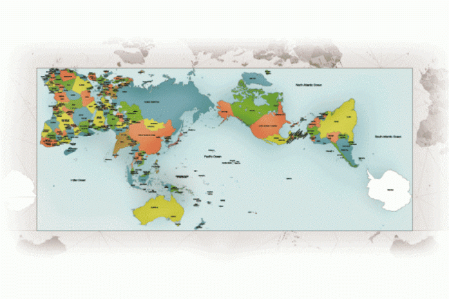
TIL standard classroom maps are based on the Mercator projection, a 16th century rendition that shows disproportionate sizes of continents, resulting in widespread misconceptions of geography.
wL8nE
TIL there are 31 different American cities with a larger population than the state of Wyoming.