› added 8 years ago
350

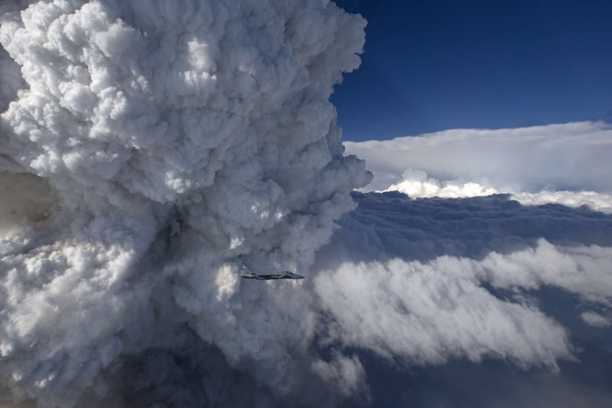
Pyrocumulus clouds tower tall above a wildfire in these photos taken last week from an Oregon National Guard F-15C.
Most cumulus clouds form when the sun-warmed surface heats air, causing it to rise and carry moisture upward where it condenses to form clouds. In pyrocumulus clouds, the driving heat is supplied by a forest fire or volcanic eruption. The hot, rising air carries smoke and soot particles upward, where they become nucleation sites for condensation. Pyrocumulus clouds can be especially turbulent, and the gusting winds they produce can exacerbate wildfires. In some cases, the clouds can even develop into a pyrocumulonimbus thunderstorm with rain and lightning.