› added 5 years ago
99

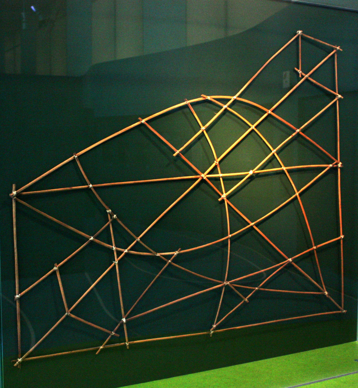
TIL the Marshallese used map charts made of sticks to navigate the Marshall Islands in canoe. They displayed the major ocean swell patterns and how the islands disrupted them. The charts are only interpretable by their makers who would memorize them before their voyages. They were used up until WW2.