› added 5 years ago
119
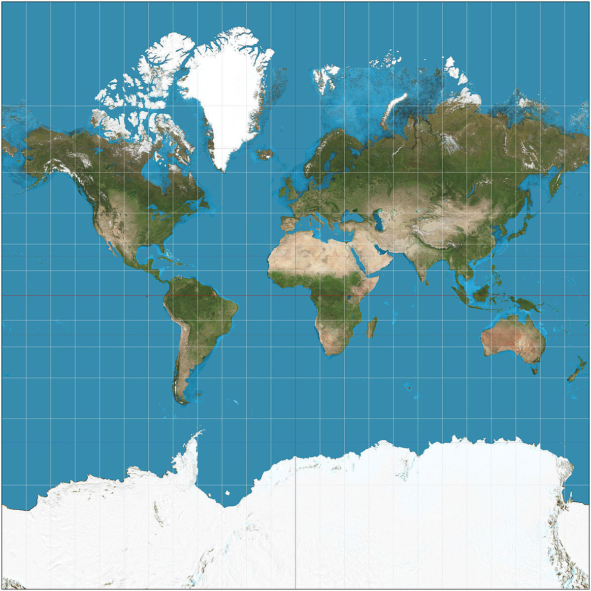
TIL that the standard maps we see of the world are not an actual accurate ratio depiction and that everything away from the equator is exaggerated in size. It's known as the Mercator Projection and is still the standard used for nautical navigation.
